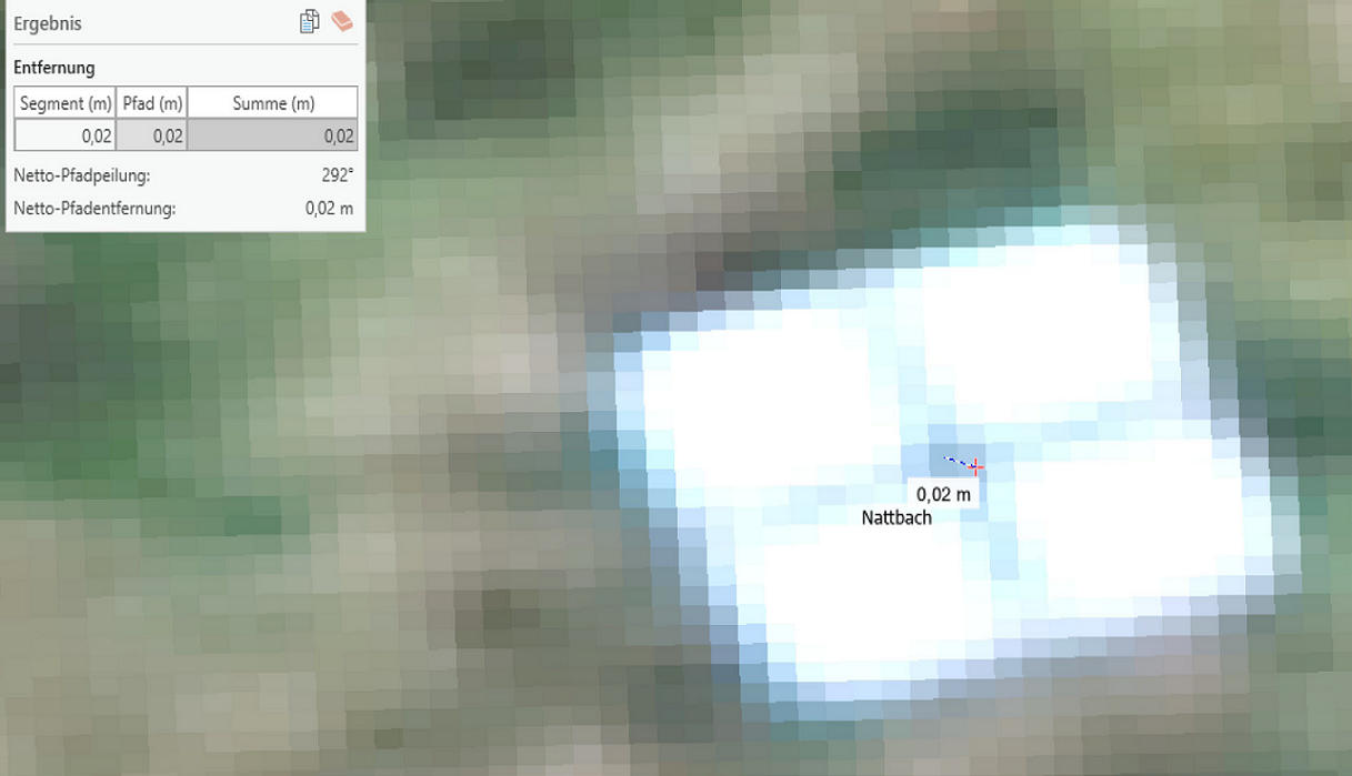
Figure 8: RTK survey position accuracy is between 2 cm and 6 cm. The GCP are used for orthorectification of aerial images without RTK correction. The 40 cm by 40 cm GCP was captured here from 120 m altitude with an RTK drone in the project.