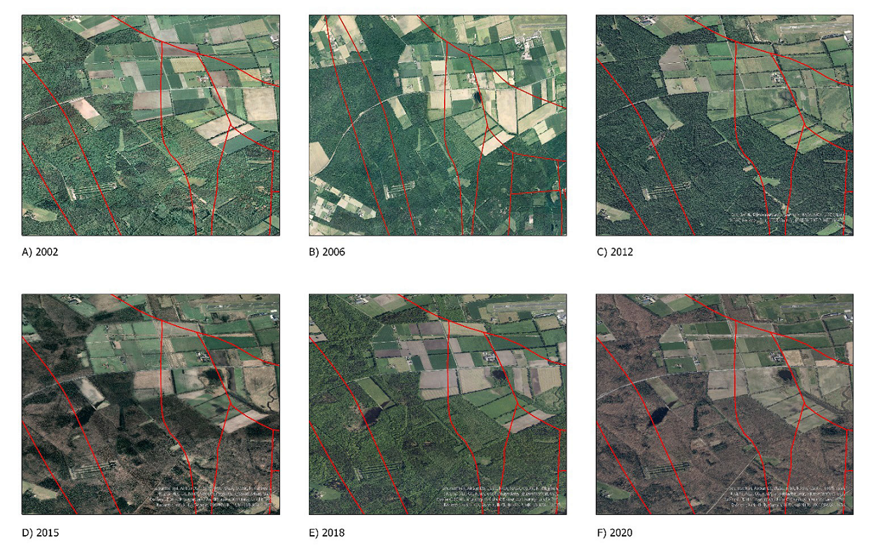
Figure 13:
Spatiotemporal analyse of terrain on the basis of the ortophotomaps from Bezirksregierung Köln
[19]
. The red lines indicate tectonic faults.